


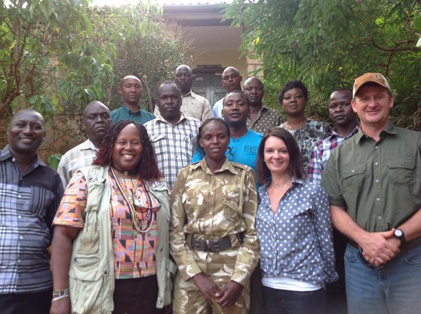
The tenBoma team, with participants from IFAW, the Kenya Wildlife Service and American Geographical Society
Data collection app Fulcrum is being used to protect elephants in the Amboseli and Tsavo national parks in the south of Kenya.
The app was developed to collect geospatial data quickly and easily over a large area. It can also be gather data and gain ithe world around them. collect forms and field data.
It is with this in mind that the International Fund for Animal Welfare (IFAW) piloted the tenBoma project, which uses Fulcrum to track the location of poachers and ivory smugglers. This information can then be shared quickly with game rangers, and the attackers can be stopped before they strike.
The anti-poaching project was endorsed by the American Geographical Society, and is being carried out by IFAW in partnership with the Kenya Wildlife Service.
“The secret to success for the tenBoma project is information and analysis”, Azzedine Downes, President and CEO of IFAW adds. “Fulcrum’s powerful data collection and visualization tools are helping out a great deal, enabling us to predict and prevent poaching with great accuracy.”
At the core of the project is a network of enforcement officers and community residents, who form a monitoring and information sharing network using Fulcrum-equipped smartphones. The data collected helps game rangers to plan their patrols. Where any security threat is detected, the information is promptly shared and a response from ground and air surveillance is initiated.
When combined with sophisticated data analysis, this collaboration can lead to early detection of criminal poaching gangs and intervention before animals are killed.
The data collected from these patrols is also added to an open-source geospatial data analysis platform, which is used to track poaching incidents and identify hotspots where future incidents could happen.
“Patrol teams using Fulcrum cover an area of close to 10,000 square kilometers, looking for poachers and plotting observations on a real-time map shared with authorities and game rangers. The information is then analysed and shared with local law enforcement and communities around the affected areas,” Mr Downes said.
“The tenBoma initiative is one of the most important international projects to effectively address the problem of illegal wildlife trade”, American Geographical Society Chief executive Dr John Konarski added.
“The project demonstrates how geography is a common reference for understanding complex situations and working to change them for the better. We see geography as a driving force behind tenBoma to help preserve wildlife and to provide insight into environmental crime”.
“The work of the Fulcrum team on the tenBoma initiative is recognised worldwide as a model for combating the effects of illegal wildlife trafficking on global security”, Dr. Konarski added. “The experts at Fulcrum and their smartphone technology are leading the industry, and this project will have a real and practical impact on fighting terrorism and protecting our wildlife.”
Photo via the American Geographical Society.