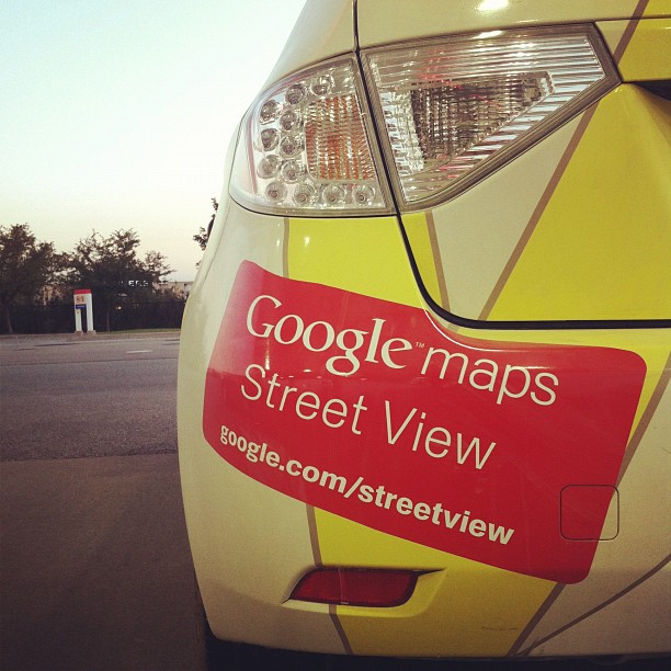
Uganda has become the first country in East Africa to offer street views on Google Maps. Roads within the capital Kampala and the port town of Entebbe were photographed using a car-mounted camera.
Kampala’s streets, which are usually packed with traffic, are gloriously empty in the shots. Users can pan and scroll at monuments such as the Independence Monument and Centenary Park. Secure areas such as the Entebbe Airport and the State House are off-limits, however.
The views are also available on the connecting roads between Kampala and Entebbe, Uganda’s two largest urban areas.


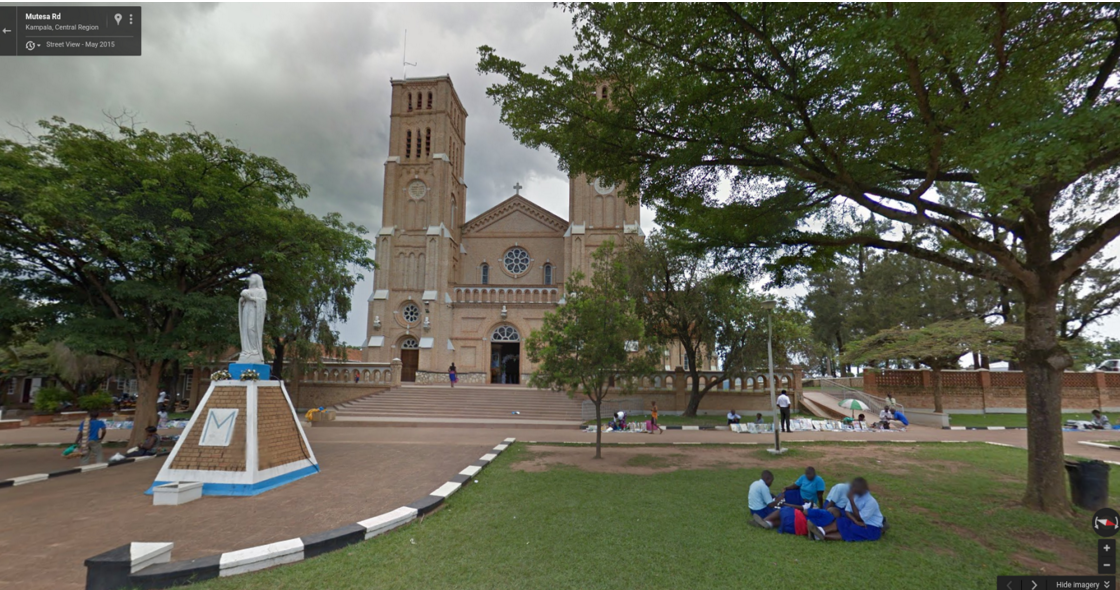

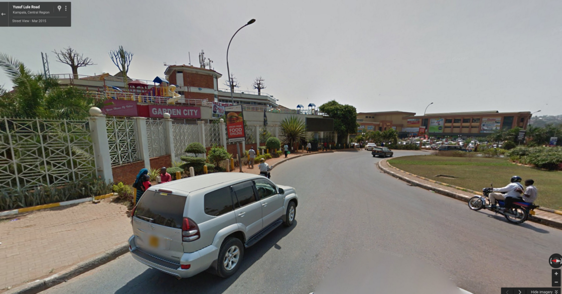
In order to access street views, one needs to click on the small yellow icon in the bottom right corner and drag it to a street highlighted in blue. From there, one can pan and zoom in order to move up and down the streets.
Uganda becomes the fifth country in Africa to have Street View after South Africa, Bostwana, Swaziland and Madagascar, and the 75th country overall.
Photo Credit: Sharon Drummond via Compfight cc


