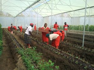
Constellr’s data will contribute to Africa’s agriculture industry by helping smallholder farmers prepare for climate change and understand changing planting seasons.
Constellr, a German-based satellite data company, is offering land surface temperature (LST) data to African farmers to help them plan for better harvests and face climate change.
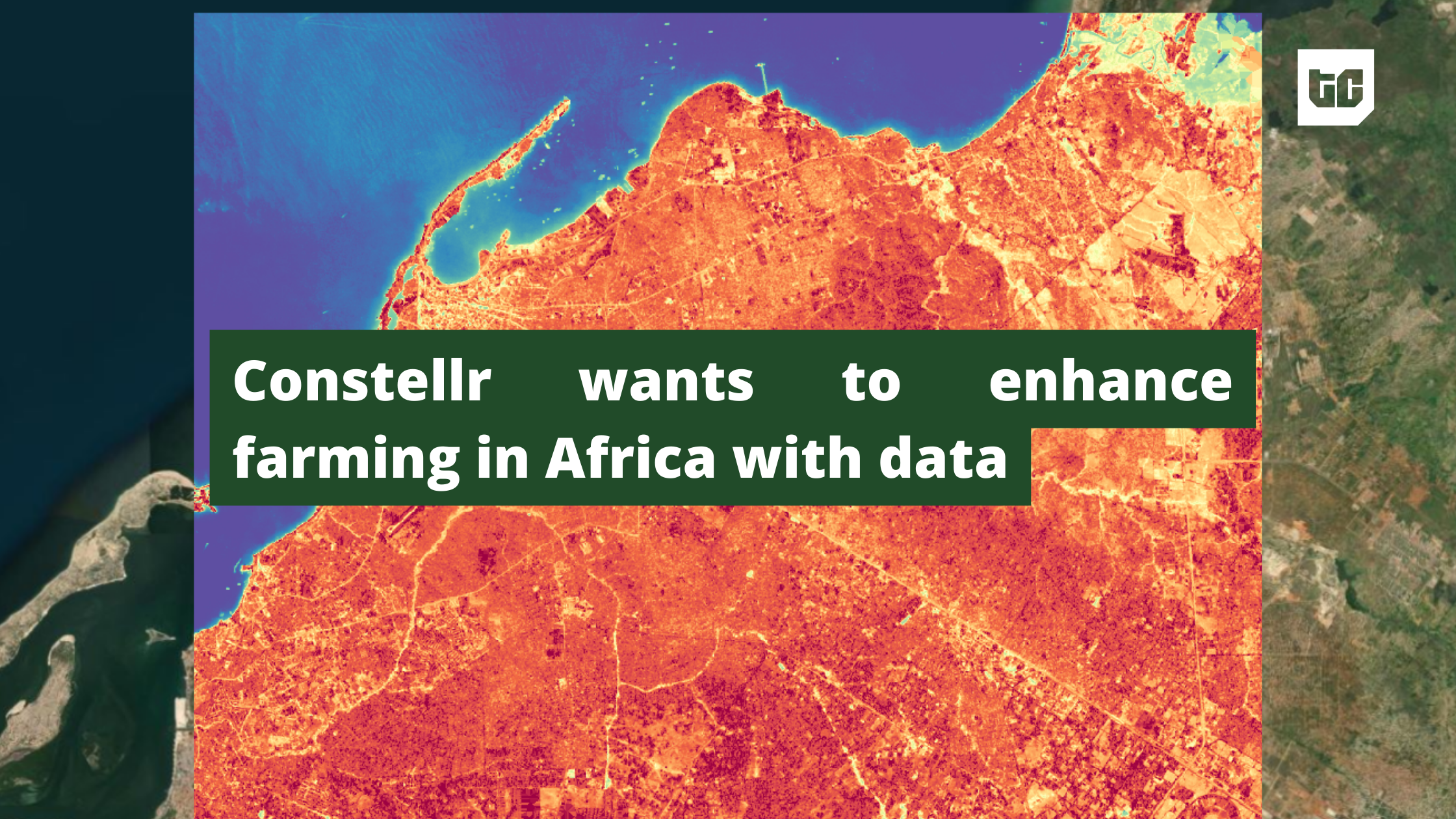
What is LST, and why is it important?
Land surface temperature is a measurement of how hot to the touch the land is, and how safe it is for planting crops over time. An understanding of this data can protect farmers from severe losses and boost food production, Rosa Schmidt, marketing project manager for constellr, told TechCabal in an email.
In farming, temperatures are one of the primary determinants of plant growth and availability of produce. Instability or lack of understanding of the soil’s temperature impacts the outcome for farmers.
As farming depends primarily on rain, LST will become “instrumental in drought monitoring by pinpointing areas experiencing water stress. This early detection empowers farmers to proactively adapt strategies, whether by adjusting planting schedules or opting for drought-resistant crop varieties. Farmers can also promptly detect abnormal temperature patterns indicative of other types of crop stress (e.g., from diseases) and adapt their approaches to ensure healthier and more productive crops,” Schmidt explained.
Africa’s agriculture industry, despite its promise of a bright future, faces challenges such as “unequal access to resources, climate constraints, lacking infrastructure, technologies that are not equipped to handle varying economic and ecological situations, increasingly competitive markets, and low remuneration,” according to consulting firm Morgan Philips.
Constellr is expanding into Africa, starting with Morocco, South Africa, and Zimbabwe.
“With Africa poised for the highest population growth and impact of climate change but also being the continent with the highest potential for a jump in agriculture productivity, this [expansion] holds even greater significance,” Schmidt said.
Data for everyone
In Africa where a significant percentage of farmers are uneducated, LST data is inaccessible to the average farmer, despite its merits of helping farmers plan their planting and harvest seasons better.
Only 15 out of 54 African countries have launched satellites into space and can gather EO data. Countries like Nigeria and Ghana have used these satellites to aid farming, but the data is usually expensive and hard to obtain. Smallholder farmers who need it the most, can’t access LST data.
As water scarcity concerns continue to stand in the way of achieving $1 trillion in revenue in the African agriculture industry, companies like constellr promise to make the data available and affordable to support a sustainable and more efficient farming ecosystem.
Constellr’s plan to make LST data available to more farmers, according to Schmidt, involves a four-pronged partnership approach with commercial companies, intergovernmental remote sensing institutions, space agencies, and NGOs. By working with the four partners, constellr will share the cost of accessibility across partners so that the end users, farmers, will get it at affordable rates. When asked about their pricing model, Schmidt said the company will provide locally contextualised rates across different countries.
By using local NGOs and intergovernmental institutions, data will be available to farmers in summarised bits over different farming seasons, and may go as far as being read on the radio and in local newspapers to make it more accessible. For a start, Schmidt confirmed that constellr has “a handful of projects and partners in Africa for whom our goal is generating positive environmental and economic impact”. These partners will be their starting point.